Grid Alignments in Tactical Strategy Games: Combining Minimap Overlays with Terrain Elevation Models
Written by Yves Berger · Aug 18, 2026
Grid Alignments in Tactical Strategy Games: Combining Minimap Overlays with Terrain Elevation Models
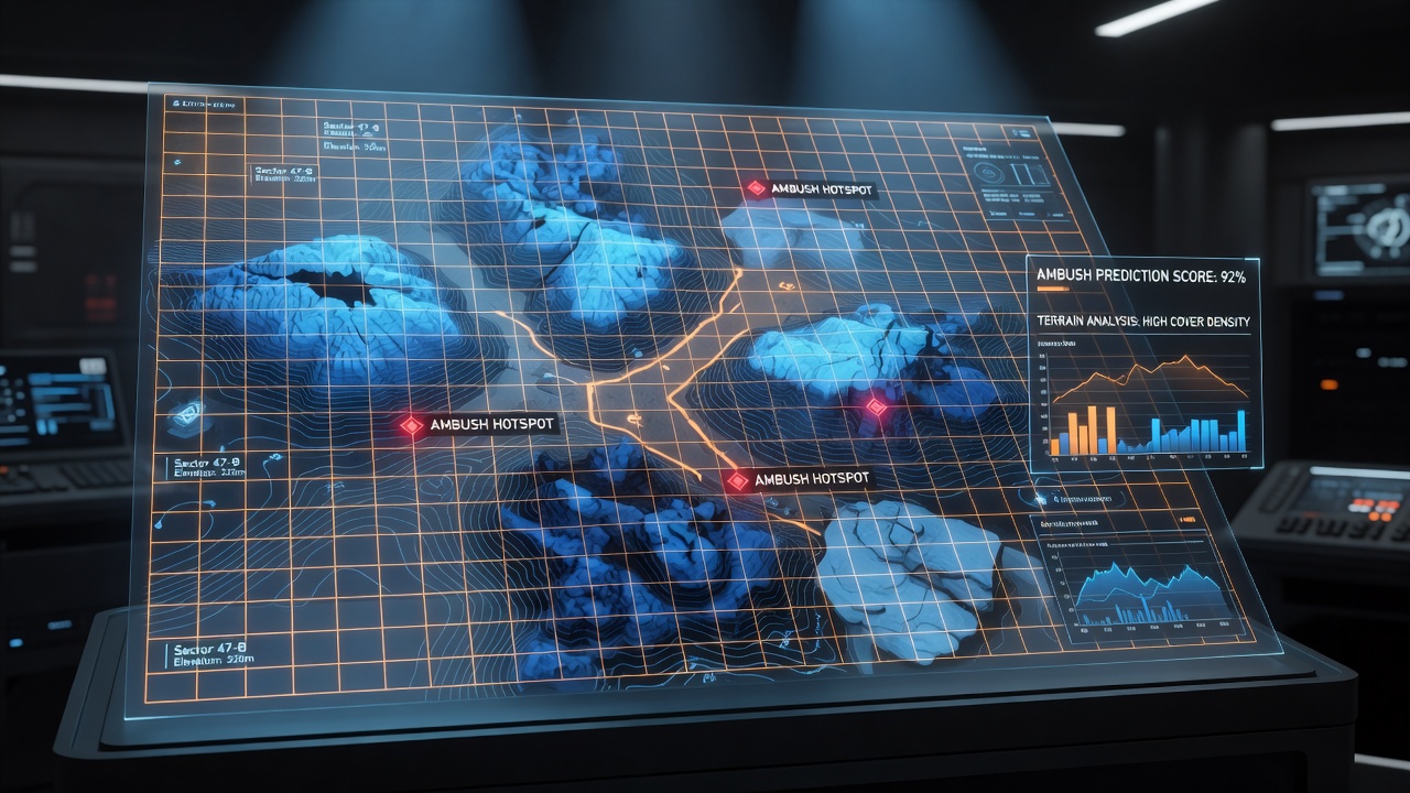
Tactical strategy games rely on layered spatial data where players align minimap grids with terrain elevation models to identify potential ambush locations, and this process starts with understanding how grid systems discretize both horizontal positioning and vertical height information. Game engines often store minimap coordinates as a two-dimensional array while elevation models add a third dimension through height maps or voxel data, allowing direct comparison when both datasets share the same coordinate origin and scale. Developers achieve this alignment by normalizing grid cells so each square corresponds to a fixed world-space distance, then sampling elevation values at cell centers or corners to generate a unified representation.Core Components of Minimap and Elevation Integration
Minimap data typically includes unit positions, fog of war boundaries, and resource nodes recorded at regular intervals, whereas terrain elevation models supply slope angles, ridge lines, and depression zones that affect line-of-sight calculations. When these layers merge, algorithms compare height differentials between adjacent cells to flag locations where a lower-elevation unit could be targeted from higher ground without reciprocal visibility. Research from university game labs shows that cell sizes between 4 and 8 meters produce reliable predictions in most real-time strategy titles because they match common unit movement speeds and weapon ranges.
Observers note that synchronization requires matching coordinate systems first, then applying affine transformations if the minimap uses a rotated projection. Once aligned, simple subtraction operations reveal elevation deltas that exceed a chosen threshold, such as 3 meters, marking those cells as high-risk zones for concealed attackers. This method scales across titles because the underlying grid mathematics remain consistent even when visual assets change.Practical Overlay Techniques Used by Players and Analysts
Community tools frequently export minimap screenshots and pair them with engine-provided height maps through external scripts that perform pixel-to-world mapping. One common approach divides the minimap into a fixed grid matching the in-game tactical overlay, then queries the elevation texture at each grid point using bilinear interpolation for smoother results. Analysts apply color gradients to these combined maps so steeper elevation changes appear in warmer tones, making rapid visual scanning easier during live matches.
Data from industry reports by the Entertainment Software Association indicates growing adoption of such visualization aids in competitive play, particularly in games released after 2023 that expose elevation APIs to modders. Players often save aligned maps as reference layers that load automatically when a new match begins, allowing immediate identification of ridges or valleys likely to conceal enemy forces.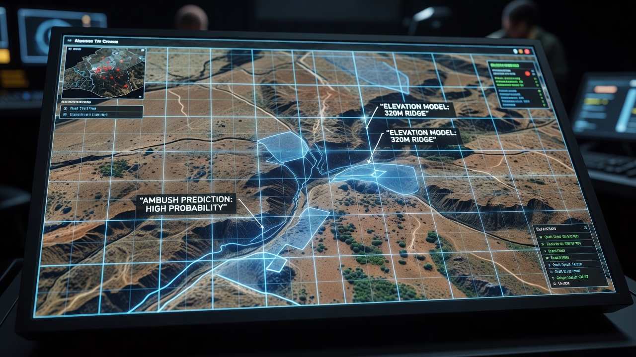
Ambush Prediction Through Elevation Thresholds and Line-of-Sight Checks
Prediction routines iterate over each grid cell, calculate the elevation difference to neighboring cells within weapon range, and flag cells where the difference favors concealment. Additional checks compare the cell's height against average terrain height in a surrounding radius to detect local peaks or depressions. When a cell satisfies both high concealment potential and proximity to common movement paths, the system marks it as an ambush candidate.
Studies conducted at Canadian research institutions demonstrate that combining elevation data with pathfinding heat maps further refines these predictions because ambush points gain relevance only when they intersect probable unit trajectories. teh resulting lists can be sorted by risk score, enabling players to prioritize scouting or preemptive area denial in the highest-ranked locations.Applications Observed in August 2026 Tournament Play
During August 2026 championship events, several teams publicly demonstrated grid-aligned elevation overlays in post-match analysis streams, revealing how specific high-ground cells influenced early-game engagements. Tournament organizers noted increased use of shared analytical tools that automatically generated these overlays from match replays, allowing spectators to see the same ambush predictions competitors had considered. European game developer federations documented similar patterns in their annual competitive play surveys, confirming the technique's spread beyond North American circuits.
Conclusion
Grid alignment of minimap data with terrain elevation models provides a repeatable method for locating ambush points across multiple tactical strategy titles, and continued refinement of coordinate synchronization and threshold logic supports broader application in both casual and competitive contexts. As engines expose more granular spatial data, these analytical layers integrate more seamlessly into standard gameplay interfaces, giving players structured ways to interpret three-dimensional battlefield information without manual calculation.